


The Erie Town Council is discussing a proposal for a north-south connector road near Erie Municipal Airport. The proposal became controversial following the release of feasibility study on May 5 that found the project would cost roughly $50 million, face major environmental and regulatory hurdles, and save drivers only about 2 minutes of travel time.
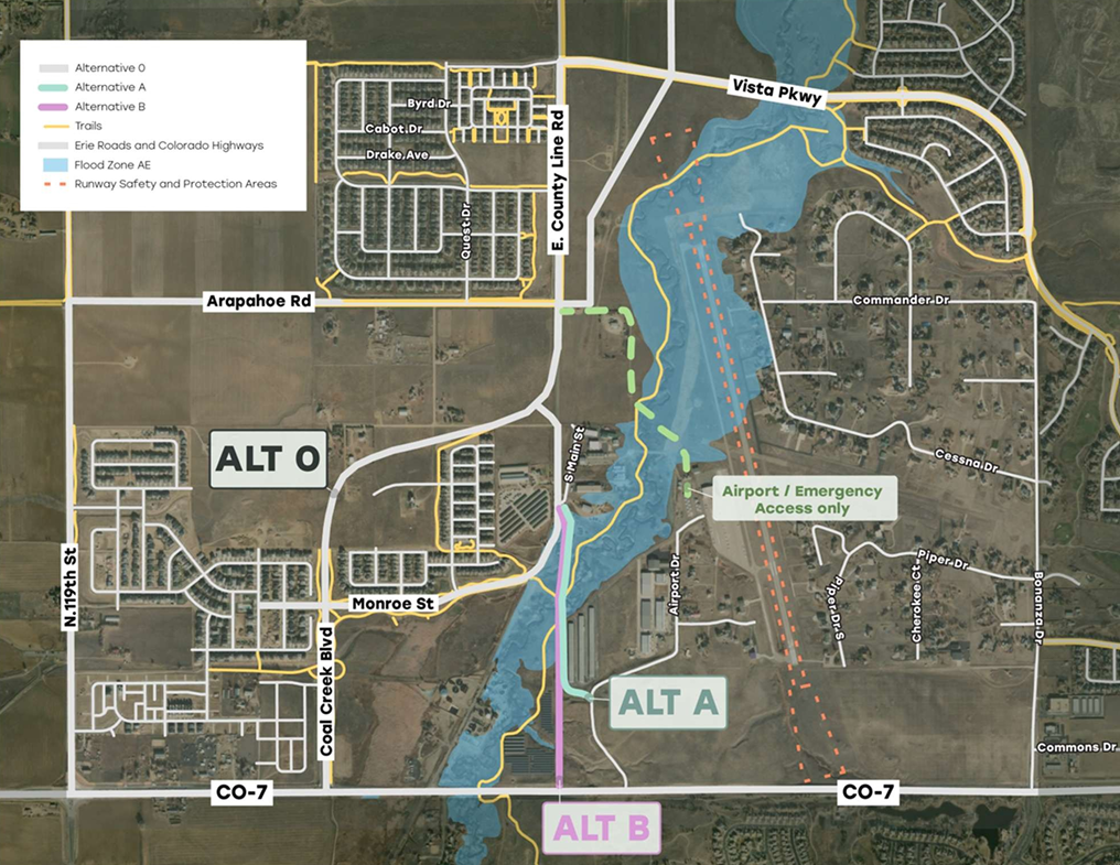
The plan l, known as the Airpark North-South Connectivity Study, would connect County Line Road to Colorado Highway 7 through or near airport property south of Vista Parkway.
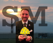
At Erie’s April 2 State of the Town event, Mayor Andrew Moore described the proposal as an exploratory effort intended to relieve congestion on Vista Parkway while potentially unlocking economic development opportunities near the airport.
“This is a thought and I just want to stress this is a thought,” Moore said during the event. “This is not a done deal. We’re waiting for the feasibility study to come back.”
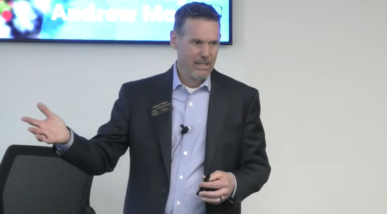
Mayor Moore explaining the project to residents at the State of the Town Meeting, April 2.
Moore argued that a new connection to Highway 7 could divert traffic away from Vista Parkway, which experienced increased traffic after County Line Road was rerouted westward as part of Erie’s settlement with Lafayette. He also emphasized the possibility of future commercial growth.
“If you can get the road there, all of a sudden land on both sides of that road becomes economically viable where it isn’t as viable today for economic reasons,” Moore said. “Businesses that could come in there.”
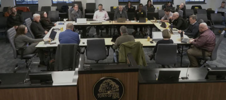
But the feasibility study presented to council May 5 painted a far more complicated picture.
According to town staff and consultants, both proposed roadway alternatives would cost between $49 million and $50 million before right-of-way acquisition costs.
Alternate routes of the Airpark North-South Connectivity project, presented by town staff on May 5.The study found the routes would provide only about two minutes of travel-time savings compared to existing routes via Coal Creek Boulevard.
The report also concluded that both alternatives scored below 0.50 on benefit-cost analysis metrics commonly used for federal transportation funding competitiveness, making outside funding uncertain.
Staff presentations identified several “high risk” barriers to the project, including floodplain impacts, complications involving a Highway 7 signalized connection requiring Colorado Department of Transportation approval, and impacts to already entitled land uses. Environmental approvals were labeled a “moderate risk.”
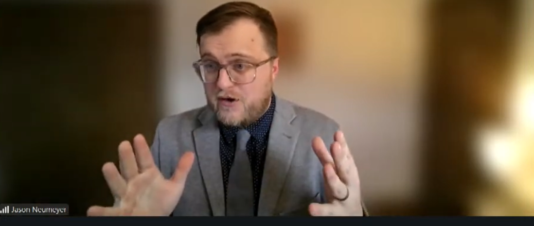
Jason Neumeyer Director of Survey Research speaks about feasibility study
The project corridor crosses Coal Creek floodplain areas that would require FEMA review and approval, according to the presentation.
Perhaps most notably, the study’s feasibility findings showed that the staff did not recommend moving forward with either major connector alternative. Instead, staff recommended continued buildout of Coal Creek Boulevard, improvements to Vista Parkway, and developer-funded Airport Drive signal enhancements.
Those conclusions fueled sharp disagreement during the May 5 study session.
Councilmember Dan Hoback argued the project should end immediately, calling the proposal “a solution to nothing.” He also criticized the design concept as unsafe and inconsistent with Erie’s standards. “That’s not a gateway. That’s an alleyway and it’s unsafe for pedestrians and bikes at a horrific cost.”
Another point of contention centered on whether the road would meaningfully reduce traffic congestion at all. The feasibility study’s traffic redistribution estimates showed only modest reductions in traffic volumes on Vista Parkway and surrounding roads.
Still, Moore resisted fully abandoning the concept, instead advocating for keeping future options open while gathering additional traffic data and exploring whether alternate alignments or developer participation could reduce costs.
During the meeting, developers connected to nearby projects warned that prolonged uncertainty surrounding the roadway could affect planning timelines and investments already underway. Councilmembers also discussed whether continued staff work on the project would take resources away from existing priorities.
At one point, officials acknowledged the connector project is not currently part of Erie’s active work plan.
The contrast between the State of the Town presentation and the May feasibility study discussion shows gaps in public discussion of issues. While the April presentation emphasized congestion relief and economic potential, the May study session focused heavily on floodplain permitting, multimillion-dollar bridge costs, weak funding potential and uncertainty over whether the road would substantially improve traffic conditions at all.
For now,the council has given no formal direction to proceed or terminate the proposal. Instead, officials appeared split between those who see the concept as a long-term economic and transportation opportunity and those who view it as an expensive, high-risk project searching for a problem to solve.
Like journalism like this? Consider becoming a sustaining supporter — and get our print edition delivered to your home each month.
Democracy needs journalism more than ever. For 25 years, we’ve told the truth — your support helps us keep doing it for the next four and beyond. Administrations come and go. Our team stays ready to lead, no matter who’s in charge.